0
CAG Annual Turnover
0
Acres professionally serviced
0
Certified drone trained pilots
0
Faster field coverage
We are building a data-driven agri ecosystem powered by drone intelligence, AI-enabled analytics, and real-time field insights. Guided by our core pillars: innovation, sustainability, and farmer enablement, we deliver scalable, technology-led solutions that enhance operational efficiency and promote responsible, future-ready farming practices


400+
Certified Drone Flights
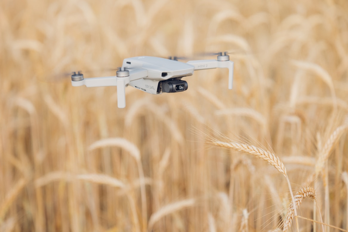
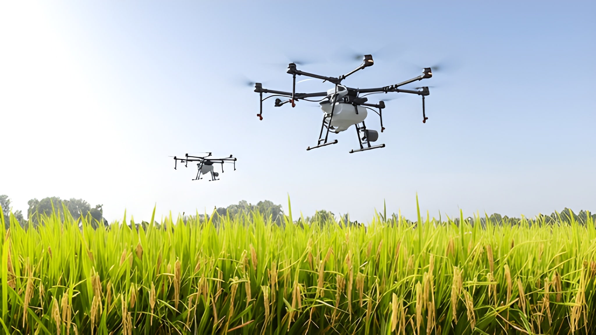
We empower farmers with innovative solutions that enhance crop management, optimize resource utilization, and ensure efficiency and sustainability at every stage. Our automated drone technology provides 10x faster coverage and precise farming solutions.
Early detection of disease and stress through aerial insights
Smarter agriculture monitoring, decisions, and solutions with drone technology
DJI-backed training programs and certification to develop skilled drone pilots nationwide
Highly innovative drone technology-driven farm services for sustainable high yield production.

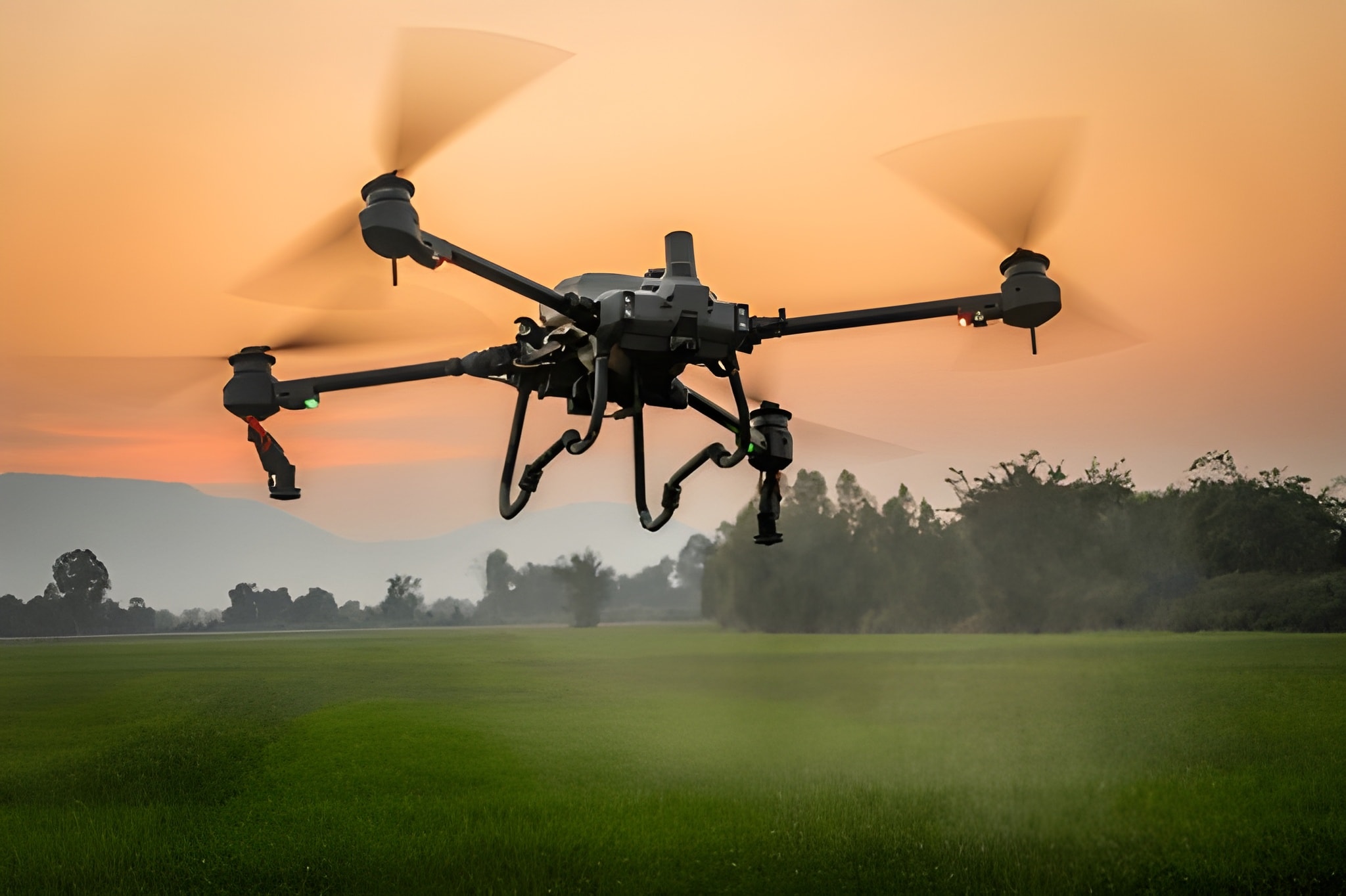
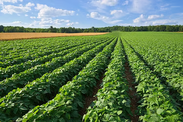
Precise land measurements and crop analysis for smarter planning. We use advanced drone technology for crop health monitoring, field identification, and yield estimation.

Real-time, geotagged orthomosaic mapping enables insightful data to power accurate decisions. This also helps with precise and efficient disease detection and resource management.

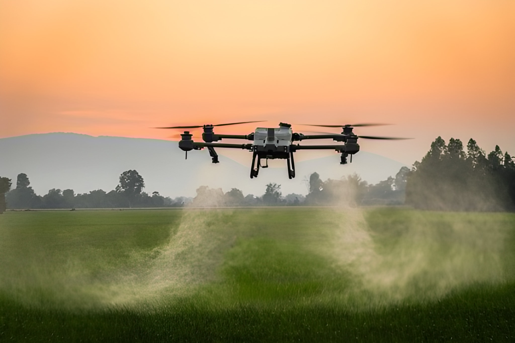
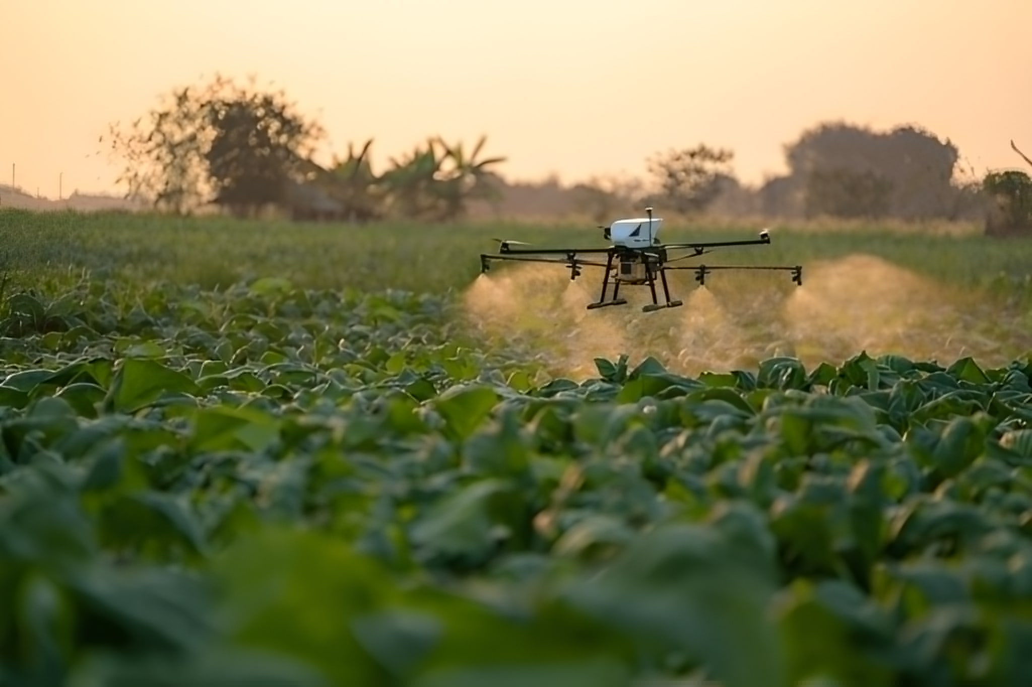
Our highly advanced automated technologies enable 10x faster coverage at 20 acres per hour efficiency. Advanced terrain mapping, all-weather operation capability & day and night functionality all ensure a high-quality crop.

Advanced drone-based field mapping and crop health monitoring with real-time satellite imagery and NDVI analysis.


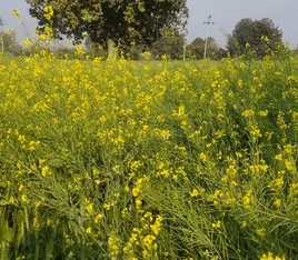
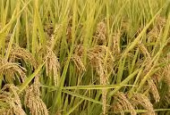
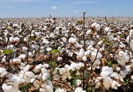
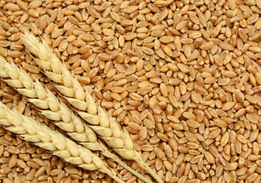
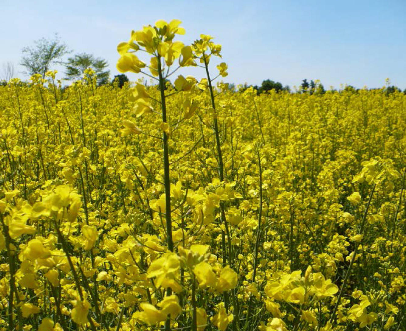
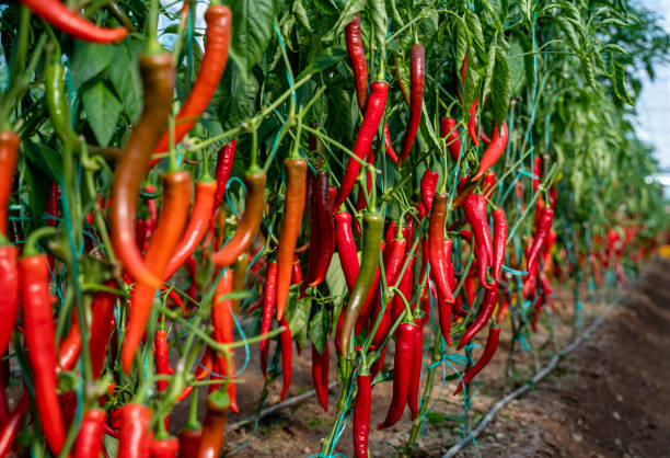
From Punjab to Sindh and KPK, our drone operations deliver consistent, high-quality, diverse crop production supporting all major farming regions.


Sapphire Group, through its brand Neela, has joined hands with WWF Pakistan to support the Organic C...


Gen Z and Millennial consumers are increasingly conscious of what they wear, particularly the energy...


With the pandemic changing wardrobes and a growing demand for comfortable everyday wear, Neela creat...